TrailMap
Free Worldwide Hiking & Topo Maps
Vector topographic maps for trails worldwide. Real 3D terrain extrusion, live trail data, track recording, GPX import/export, waypoints, and offline tile caching — all free.
Features
Vector Topo Maps
MapTiler Outdoor vector tiles with contour lines, elevation bands, peaks, saddles, and national parks. Crisp at any zoom.
Real 3D Terrain
Toggle true terrain extrusion — mountains and valleys physically rise from the map using elevation data. Not just a flat hillshade.
Live Bushfire Alerts
Real-time weather and hazard overlays including BOM radar. Stay informed about conditions on the trail.
Waypoints
Drop and save waypoints with categories, descriptions, and one-tap navigation. Long-press anywhere on the map to add.
Track Recording
Record hikes as GPS tracks with live speed, altitude, distance, time, steps, ascent, and descent in the HUD. Pause and resume.
GPX Import & Export
Import GPX files from AllTrails, Garmin, or any GPS device. Export your tracks and waypoints for use on other platforms.
Multiple Map Sources
Switch between MapTiler Outdoor, OpenTopoMap, Esri World Topo, satellite, hybrid, and more.
Worldwide Trail Data
Live Overpass API fetch pulls hiking trails for any viewport worldwide. Works anywhere on Earth with OpenStreetMap trail coverage.
Offline Tile Caching
Tiles are cached automatically as you browse. Head offline with confidence on previously-viewed areas.
Map Sources
| Source | Type | Best For |
|---|---|---|
| MapTiler Outdoor (default) | Vector | All hiking — contours, peaks, trails, 3D terrain |
| OpenTopoMap | Raster | Classic topo style |
| Esri World Topo | Raster | Detailed reference map |
| Hybrid | Raster | Satellite with road/trail labels |
| Satellite | Raster | Aerial imagery |
Screenshots

Home

Trail Browser
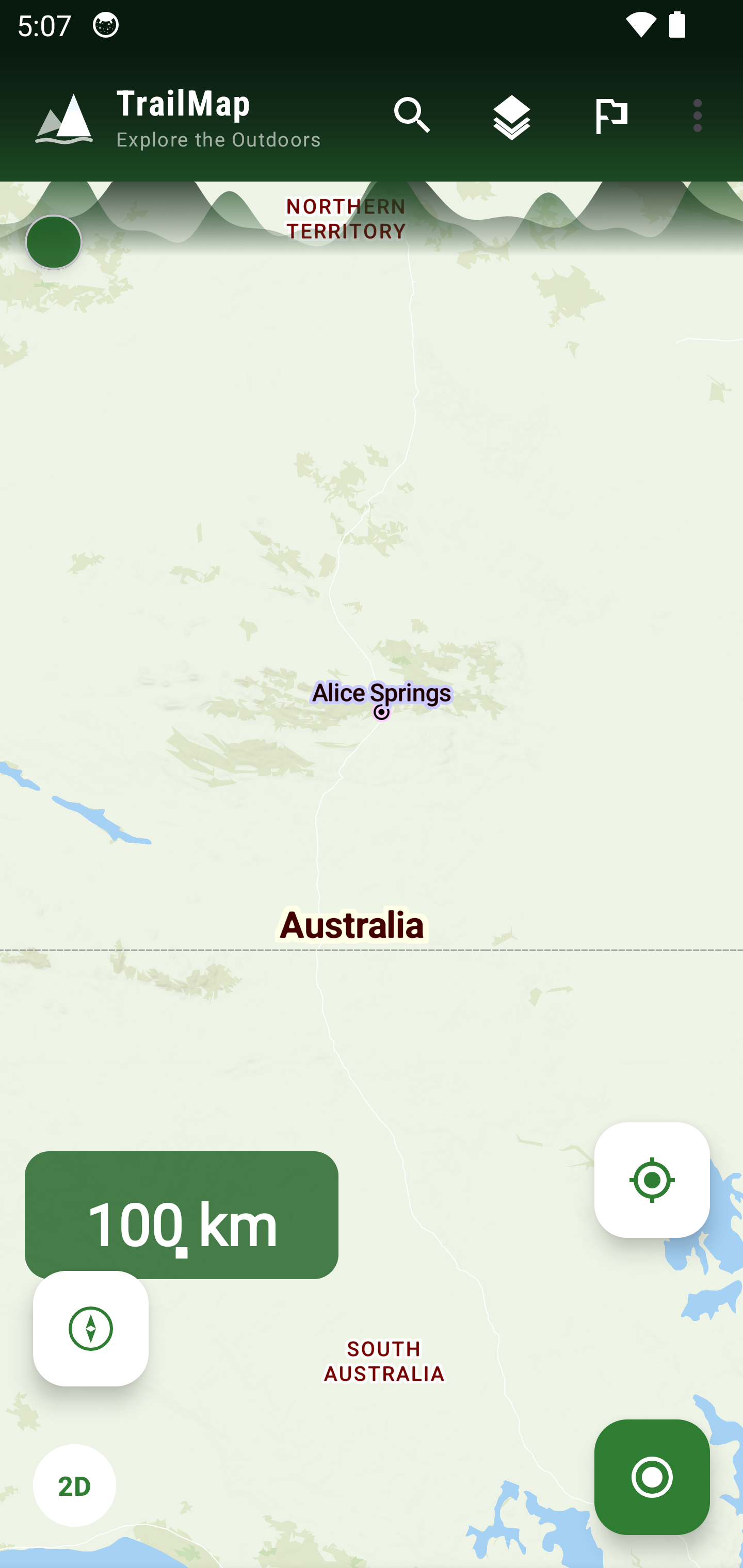
Trail Detail

Topo Map
Download
Version: 2.6.4
Requires: Android 8.0+ (API 26)
Price: Free

Security & Privacy
- ✓ No account required — fully offline capable
- ✓ No analytics, no telemetry, no user tracking
- ✓ Location data never leaves the device
- ✓ Network calls only to map tile servers and public weather/hazard feeds
- ✓ HTTPS enforced for all network requests
- ✓ Minimal permissions — only location and notification
- ✓ ProGuard/R8 obfuscation in release builds